
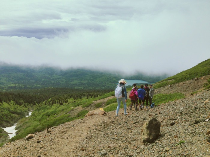
Mount Meakan: Hiking An ACTIVE Volcano In Hokkaido – My Experience
Updated: 14th September 2026
Home » Blog » Travel Activities » Hikes & Walks »Mount Meakan is a stunning volcano on the northern island of Hokkaido in Japan. It is a beautiful hike, and I did it with a group of my friends for my friend’s birthday. Our idea of a decent celebration is hiking 1,499m up an active stratovolcano.
The journey was full of adventure and surprises, including traversing alpine snowfields, being consumed by poisonous volcanic gases, and having to make a hasty exit back down the mountain for fear of it erupting.
This post shares our journey hiking Mount Meakan, with information on what the experience is like in case you wish to do it too! I share lots of photos along the way, plus a video at the end!
Volcanic Activity Update September 2026 – Due to heightened volcanic activity at Mount Meakan-dake, there is a no-entry zone 500 meters around the summit. As far as I’m aware, you can still hike the Mount Meakan trail, but you cannot reach the summit. The Japan Meteorological Agency instructs hikers to be aware of large rocks that may be ejected in a ballistic trajectory during an eruption. Volcanic ash and small volcanic rocks may be carried far downwind by the wind. Remain vigilant, follow instructions of local authorities and do not enter dangerous areas.
Hiking 登るHokkaido: Mount Meakan (雌阿寒岳 Meakan-Dake)
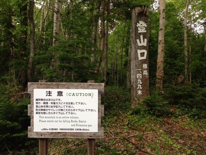
About Mount Meakan, Hokkaido
Mount Meakan is the highest mountain in the Akan Volcanic Complex located in Akan National Park in Hokkaido, Japan.
I’ve visited the Lake Akan region perhaps around six times, but I never had a chance to hike this volcano… until now.
A relatively easy hike (despite the height), many of my friends have climbed this mountain many times before, and their pictures always looked stunning.
At the summit of Mount Meakan is the Ponmachineshiri crater and the Naka-Machineshiri crater. These two craters are very active and sites of frequent eruptions.
Within the craters, you can see two unique pools of water – 赤沼 (Sekinuma, Red Pond) and 青沼 (Aonuma, Blue Pond).
Located by Lake Onneto, you can also have wonderful views over the lake and surrounding mountains, forests, and valleys.
Mount Meakan is said to be the female counterpart of the couple mountains Meakan and Oakan, with Mount Oakan being the male.
Mount Oakan (雄阿寒岳 Oakan-dake) is actually a little shorter than Meakan (1,370m), but the hike is said to be much more difficult, so Meakan is the more popular choice amongst many hikers and trail walkers.
I was super stoked to finally be getting to hike this mountain! As a local from Kushiro, my friend Rina had climbed this mountain perhaps around three or four times, but knowing I had never done it and wanted to before leaving Japan, I think she included it in the schedule just for me! (What a sweetheart… and that’s what friends are for 🙂 ).
Getting To Mount Meakan 🚞
The trailheads for Mount Meakan cannot be accessed by public transport, but if you get to Akan town (Akankohan) you could take a 20-minute taxi (approx 6000 yen one way).
The best method is to self-drive in a car. Parking is available at the trailheads, of which there are two starting points: the first at Meakan Onsen and the second at Onneto Campground.
At the time, I was living in Yoichi, so my journey to Mount Meakan involved taking the train from Yoichi to Kushiro, via Sapporo. My ticket cost around 16,660 yen return. It was a long journey, taking about 6.5 hours by train, but I was travelling with my friends, Ellen and Brae, and we kept each other company.
Once we arrived in Kushiro at around midnight, our friend Rina picked us up at the station. We then drove north 45 minutes to Akan town, and spent the night at our friend Emily’s house.
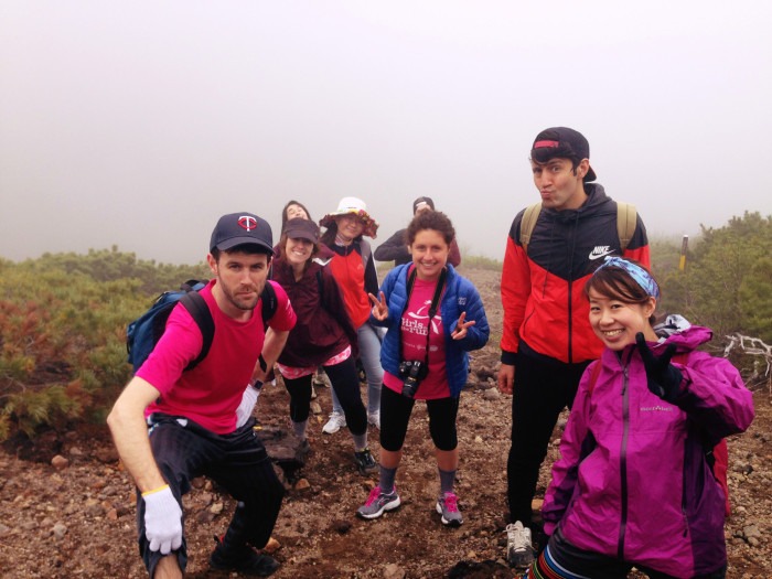
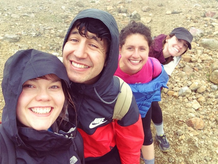
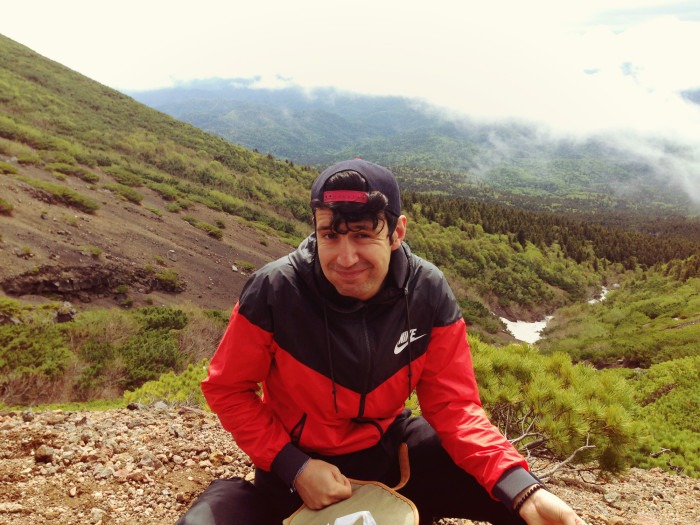
In the morning, we rose bright and early, getting super pumped for our hike! Our crew consisted of Ayame, Chris, Ellen, Emily, Braeden, Miyuki, Joe, Emily, Rina and me. It was Ayame and Joe’s first time hiking! Joe even brought a brand-spanking-new bear bell (super legit and way better than my crappy version from the 100 yen shop).
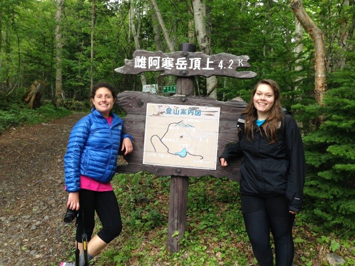
After a compulsory combini stop for snacks and the toilet, we headed to the trailhead at Lake Onneto Campground. Driving past the lake, it looked so beautiful, sparkling green and blue under a super humid and cloudy sky. There was even some mist rising up off the water.
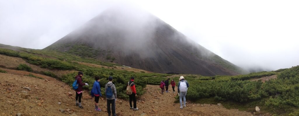
We parked the cars in the car park outside the toilet block/camp site and got ourselves ready to start. The trail is well signposted, and we started the hike around 10:30 am.
Mount Meakan Hike 👣
Hiking Mount Meakan is usually possible from May to October. The route can be done out-and-back or as a circular, returning via Meakan Onsen or the Onneto Campground, depending on which trailhead you begin from.
The estimated time it takes to hike to the summit is around 4-5 hours return.
The ascent gradually becomes steeper as you go on, but it doesn’t require any special equipment. Many in our group were wearing trainers, but I’d recommend sturdy hiking shoes. We had a few obstacles, such as snowfields, tree roots and rocks, so you’d be grateful for the boots.
I’d recommend packing layers, because conditions can change quickly in this environment. Water and snacks are also essential, and a basic first aid kit for emergencies.
Mountains in Hokkaido tend to use the 10-station system (合目 gōme) to mark progress and elevation toward the summit. Mount Meakan uses this system, with the 5th-station marking the midway point, and the 10th-station marking the summit.
Beginning In The Forest, From Lake Onneto Campground 🌲
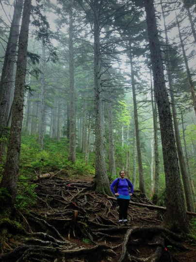
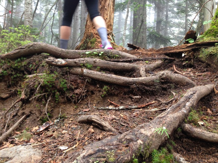
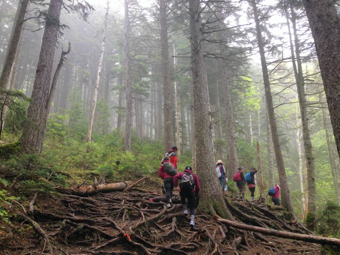
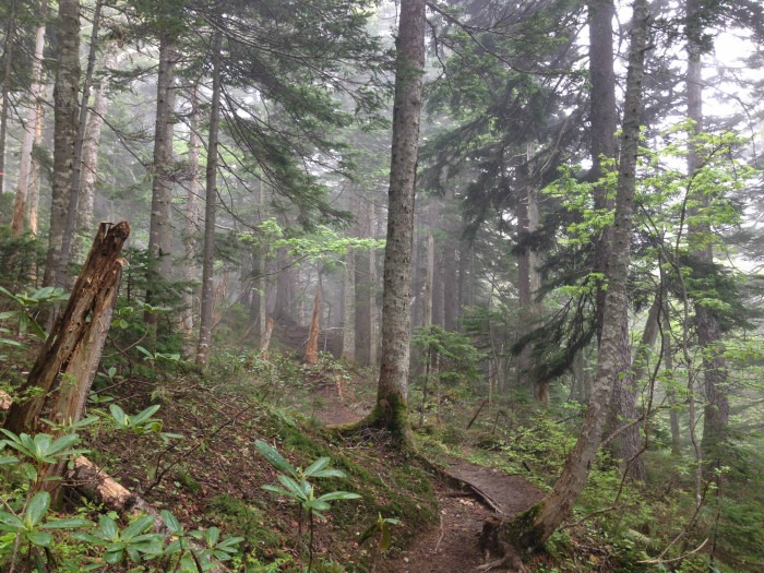
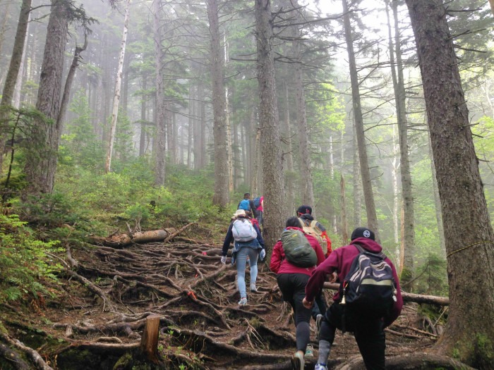
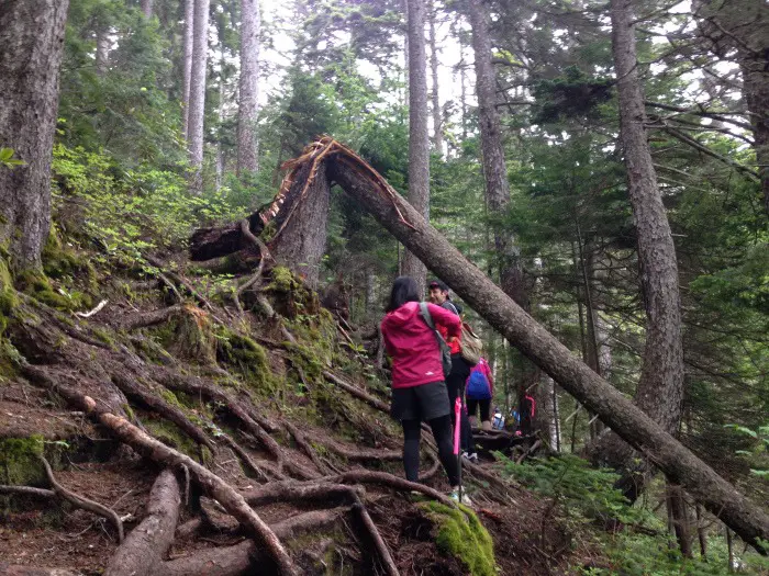
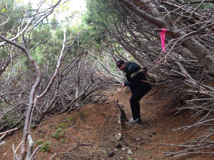
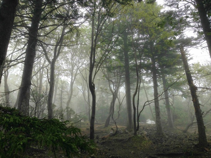
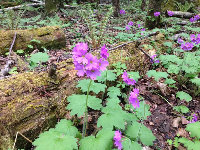
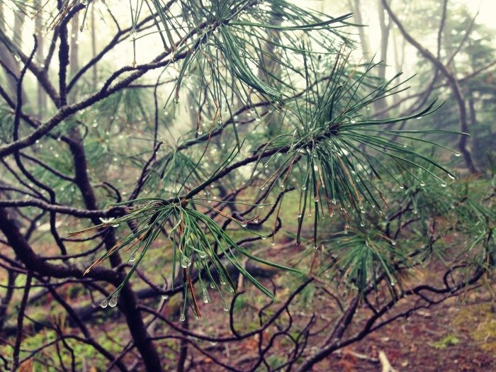
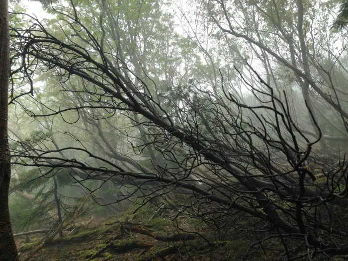
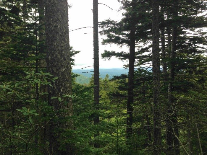
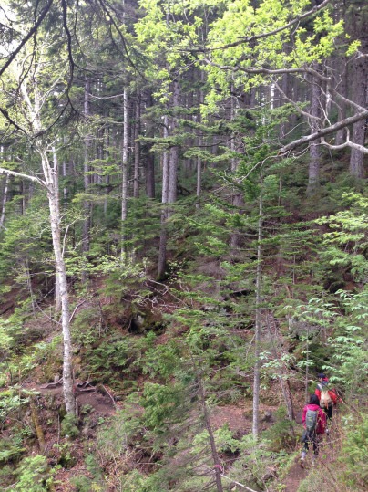
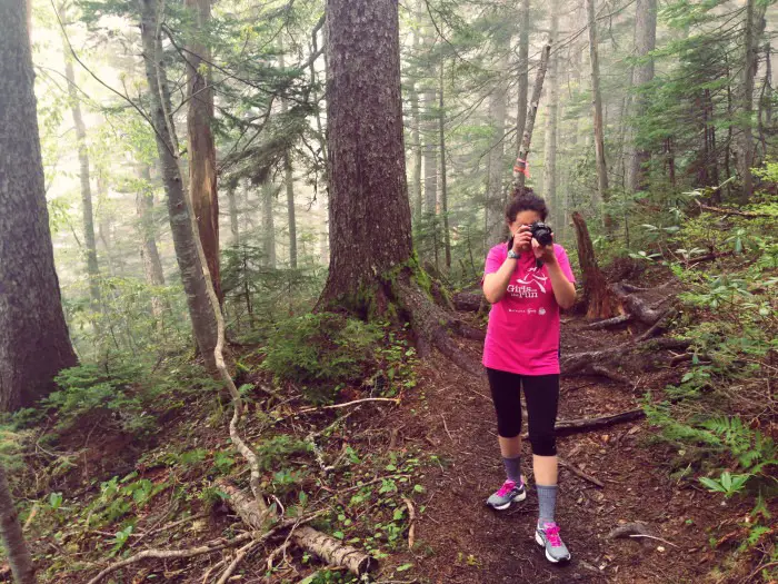
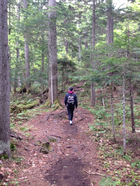
The trail from Onneto Campground began in a beautiful forest. The forest smelled super lush, and the trail was gorgeous. The trees were huge. Some were broken and snapped close to the trunk, their wooden bodies lying down the mountainside. There were also a lot of alpine flowers. You have to climb over many tree roots and rocks, as the path gently slopes up and around the mountain.
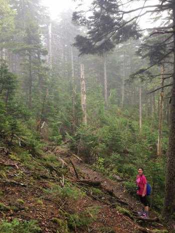
There was a lot of cloud between the trees – it looked eerie and mysterious. Raindrops clung to the branches and pines.
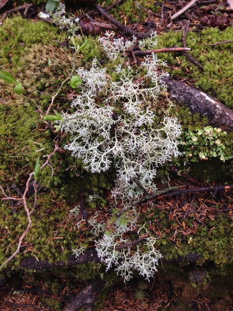
The higher you go, the steeper it becomes. It’s so interesting to see the landscape and foliage change as you gain altitude.
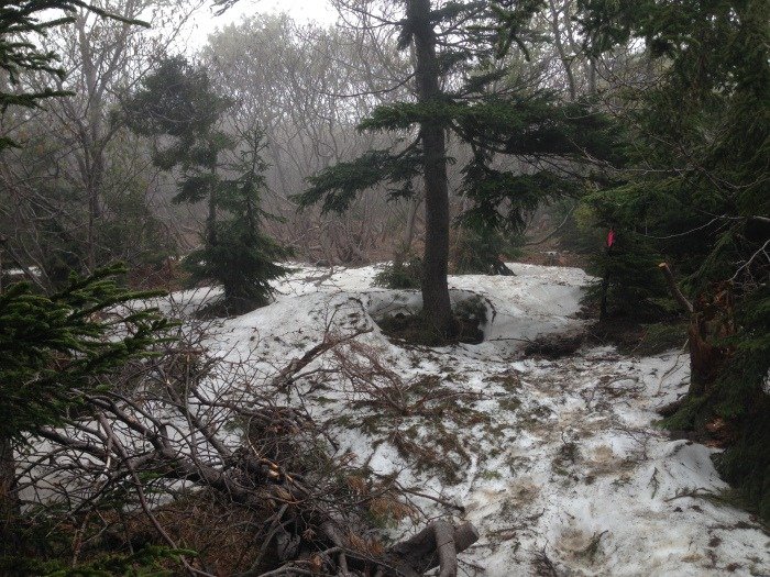
As we ascended, we started to see snow between the trees.
Beyond The Forest, Towards The Summit ⛰️
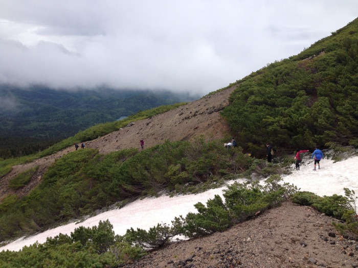
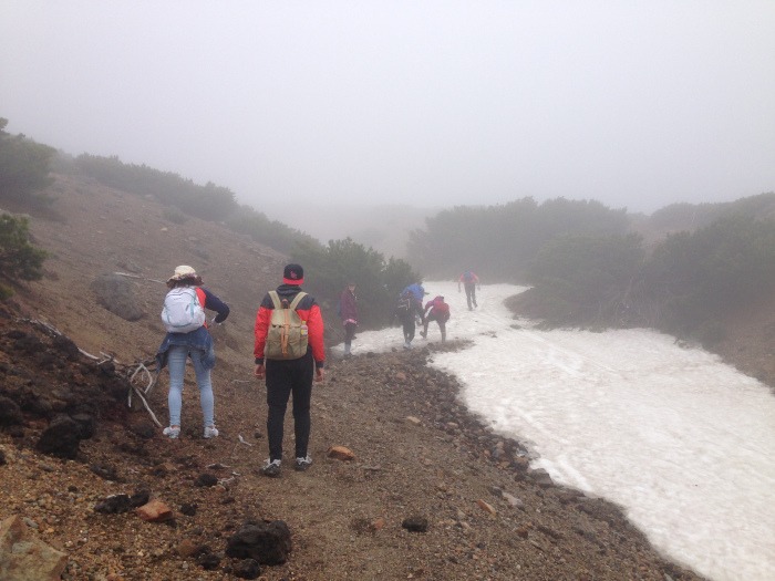
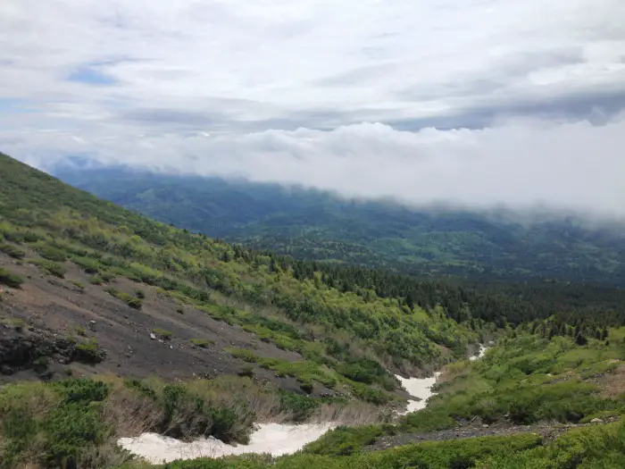
After the forest, above the treeline, the terrain became rocky with shrubs. The trail became a steeper incline here, just past the 5th station – about halfway up the mountain.
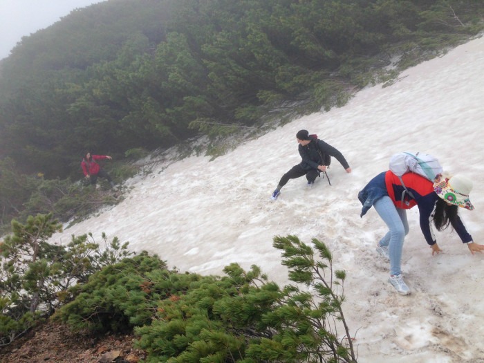
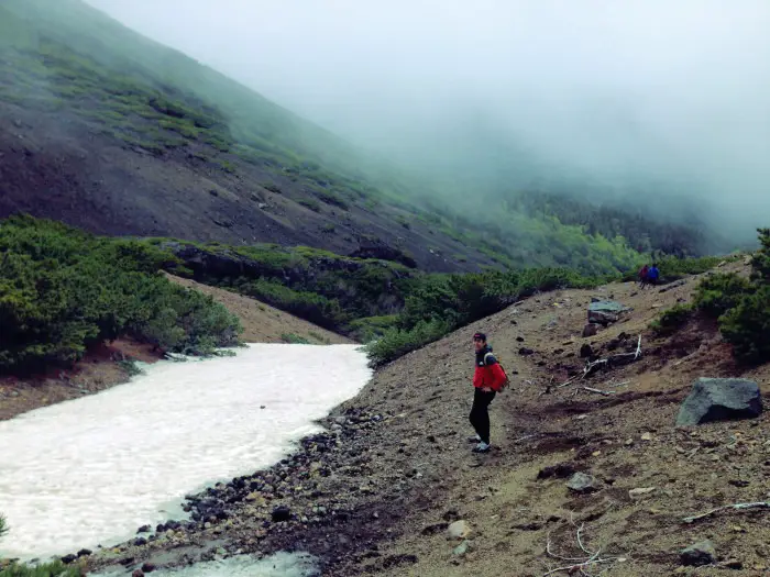
Although we were hiking in early June, there was still a lot of snow on the slopes, covering the path. We had to be careful to cross the snow without sliding down the mountain (not terribly easy in trainers/sneakers… but alright in walking boots. We had to use some sticks to help us make the crossings, and a lot of encouragement from friends!)
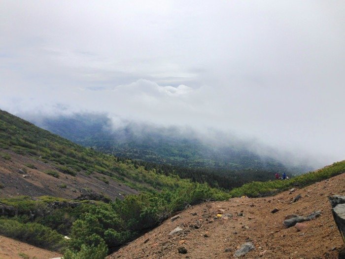
Further toward the summit, it was incredibly foggy. Visibility wasn’t good. The clouds kept rolling in due to the strong winds.
Mount Meakan Is An Active Volcano! 🌋
Mount Meakan is one of Japan’s most active volcanoes, with multiple eruptions in recent decades.
Occasionally, the hiking trails will get closed during periods of heightened activity, but somehow it was not closed on this particular day!
Just two days before we hiked, there was an earthquake with a seismic intensity level of seven in the Lake Akan area. We believe that this could have caused an increase in sulfuric gas activity in the volcano’s crater.
As we approached the ninth station, close to Mount Meakan’s summit, the air suddenly became filled with sulfuric gas.
Taking an in-breath at the wrong moment, a lot of it ended up in my lungs. The same thing happened to my friends, and we were coughing a lot. It became difficult to breathe!
Chris and Emily, who were further ahead, became concerned and turned around, warning us about what lay ahead.
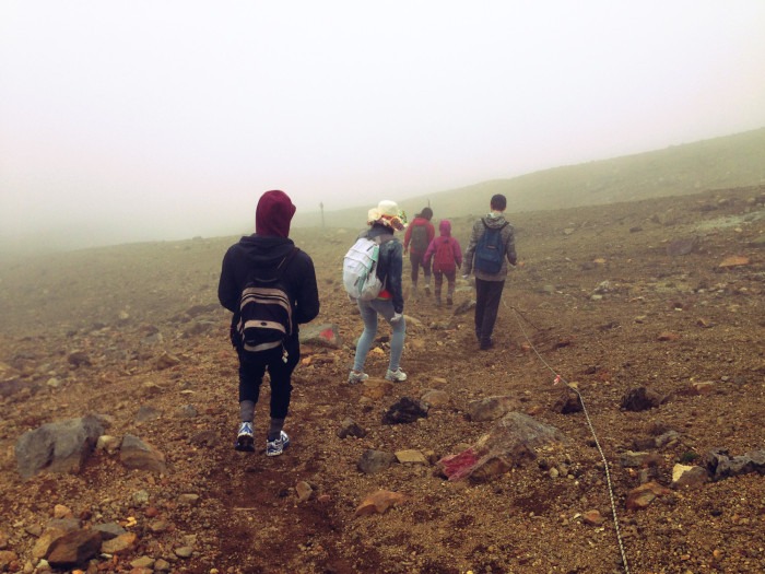
No one made any hesitation to descend the mountain immediately. The cloud surrounding us was so thick and full of gas that it was hard to see and breathe as we stumbled down the mountainside.
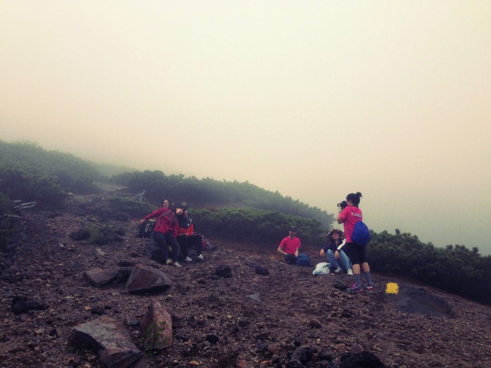
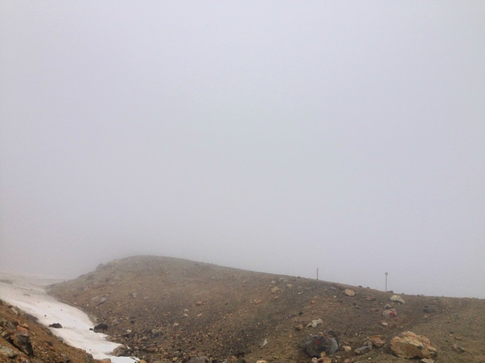
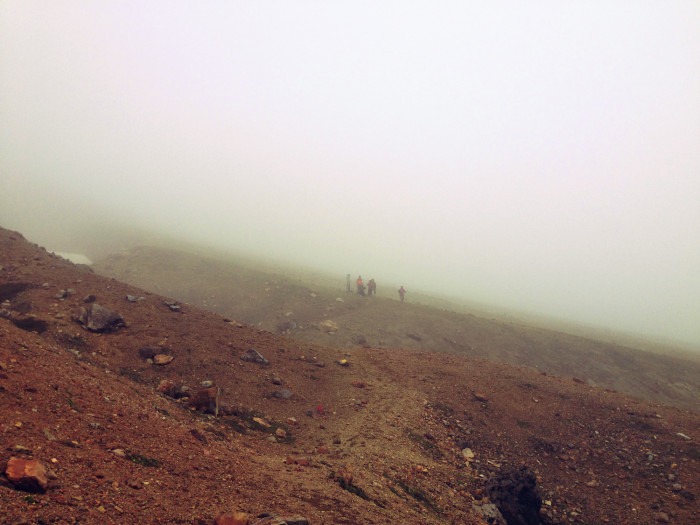
No one made any hesitation to descend the mountain immediately… it was hard to see and breathe as we stumbled down the mountain side.
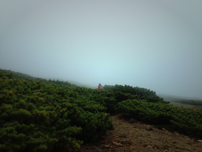
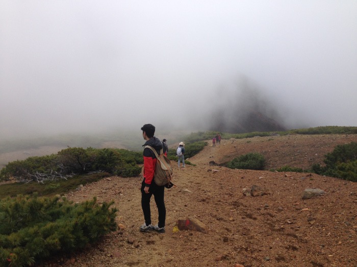
Akan-Fuji & Lake Onnetto Views 🏞️
After around 10 minutes of walking back down, the visibility began improving, and the clouds began to clear. Thankfully, the air felt fresher, and we were out of the path of the gases!
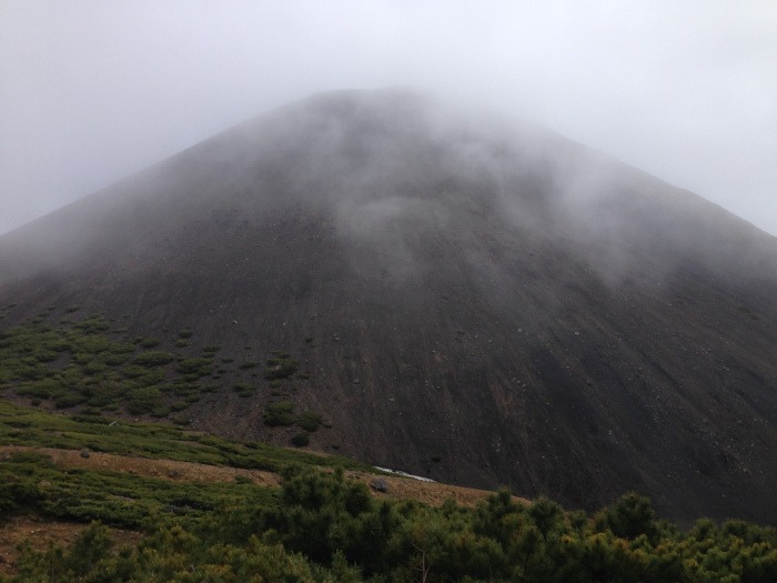
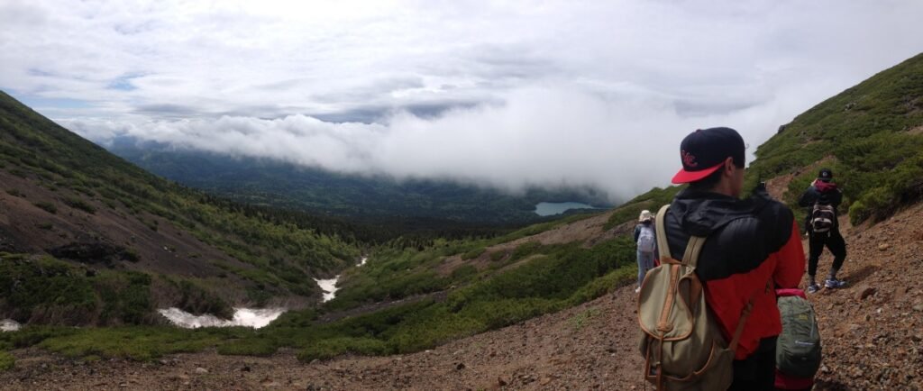
All of a sudden, we could see the mountain Akan-Fuji, a stratovolcano rising majestically 1,476m above the ground beside Meakandake. We stopped to admire this view and the peeking blue sky between the dark clouds.
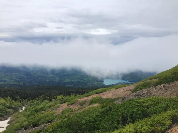
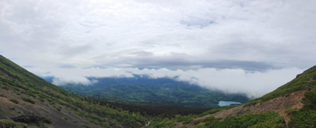
A little later, the clouds cleared a little more, and we could see a beautiful, gorgeous panorama over the mountains and valleys below. The landscape was covered with dense emerald green forest, and to one side we could see the turquoise blue Lake Onneto once more.
Lunch Stop 🍙
Our summit picnic plan failing, we decided this would be a good place to stop and enjoy our lunch.
I set up my camera to make a time-lapse of the clouds rolling over the mountain side like a sea. You can see footage from this time-lapse in my hiking video shared at the end of this blog post!
I got out my inari-sushi pack and began to enjoy it when a gust of strong wind came by and ripped the plastic lid right off and smacked Braeden, who was sitting across from me, right in the face. I was distracted by the deliciousness, and it was over in a flash, so I didn’t see this happen, but my friends did. Roars of laughter! Chris salvaged the plastic top from a nearby bush.
Descent 🥾
After lunch and enjoying the views, we continued our descent. We returned the same way we had come.
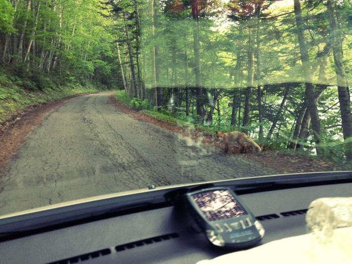
Partway down, we saw a chipmunk-like squirrel jumping around the tree roots. I slipped on my ass a couple of times in the snow. Braeden walked into a tree branch, and it hit him in the eye (not much luck that day haha). Miyuki made a rap about our adventure. Ellen took a lot of beautiful pictures.
We arrived back at the car park around 2:30 pm, so the entire trip took around four hours.
Final Thoughts
Mount Meakan is a beautiful mountain to hike in Hokkaido. The trail offers wonderful scenery and views, with the added thrill of being an active volcano.
Due to heightened volcanic activity, our ascent to the summit had to be cut short. It was disappointing to be unable to reach the summit and see the ponds and crater, but I had a wonderful time hiking with my friends, and the views we did see across Akan-Mashu National Park were absolutely gorgeous.
This was the last time I was able to visit the Lake Akan region before leaving Japan and returning back to the U.K. If I ever do return to Hokkaido, I would be happy to challenge this mountain again, and hope for better weather (and less volcanic gas) next time!
Mount Meakan Hike Experience Video
Want more? Check out this video I made of the hike 🙂
Links
Japan Hike Guide – Mount Meakan
Japan Guide – Mount Meakan
Lake Akan Tourist Information
Location
Coordinates: 43.386400, 144.008900
Google Maps
Date Visited
Saturday 6th June 2015
Mount Meakan: Hiking An ACTIVE Volcano In Hokkaido – My Experience – Thanks For Reading!
Have you hiked this mountain or want to go? Share your experience and thoughts in the comments! – Lauren x
Where to next? Discover unique local foods you must try in Hokkaido! Hokkaido Food Guide: 13 Famous Local Foods You Must-Try
🇯🇵 Read all Japan posts 🇯🇵

Did you find this article useful? Let me know in the comments or join me everywhere @wildlovelyworld
If you enjoyed this post, share it with a friend! 💌
Say thanks and send me a virtual coffee on Ko-Fi!☕

Adventure in your inbox! – Join my mailing list (newsletter launching soon!) 🌏:


2 Comments
japangazetteer
Wow, your blog was very exciting with lots of photos.
I am glad you make through the ice…it certainly does look dangerous.
Also, im glad that you make it back safely despite the sulphuric gas.
Lauren
Hi!
Thank you very much for reading and for your comment 🙂 It was an incredible adventure and I am glad I made it back safely too! I would love to explore more of Japan’s beautiful mountains.
Best wishes,
Lauren